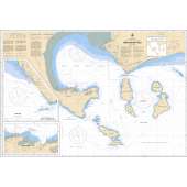
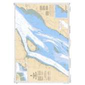
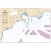
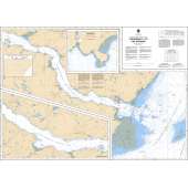
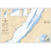
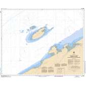
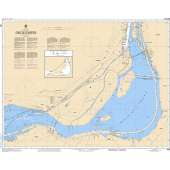
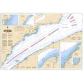
The wholesale discount on this item may display incorrectly when you order.
- We will correct this when processing you order.
- The correct discount is 45% off the retail price.
- Please contact our office with any questions.
Scale identification for CHS Charts
We refer to the relationship between the size of the chart and the earth as 'natural scale.' For example, 1:15 000 means that 1 unit on the chart equals 15 000 units on the earth. The following are examples of different types and scales of charts and their uses.
- Harbour charts are:
- large scale, 1:2 001 to 1:20 000
- used for navigation in harbours or intricate, hazardous, shoal-infested waters
- Approach charts are:
- 1:20 001 to 1:50 000
- used for approaching coasts where a lot of detail is required
- Coastal charts are:
- 1:50 001 to 1:150 000
- used in fisheries charts
- used to show continuous extensive coverage with sufficient inshore detail to make landfall sightings easy
- General charts:
- are 1:150 001 to 1:500 000
- used in fisheries charts
- give extensive offshore coverage with sufficient inshore detail to make landfall sightings easy
- Sailing charts are:
- 1:500 001 and smaller
- used for offshore navigation beyond sight of land
Specifications
No posts found

