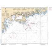
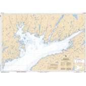
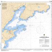
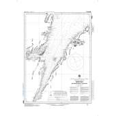
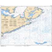
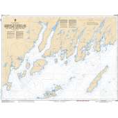
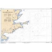
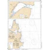
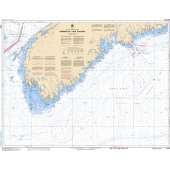
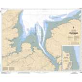
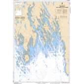
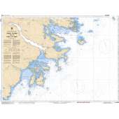
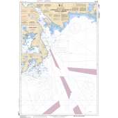
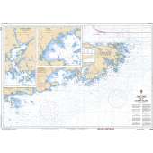
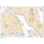
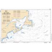
Scale identification for CHS Charts
We refer to the relationship between the size of the chart and the earth as 'natural scale.' For example, 1:15 000 means that 1 unit on the chart equals 15 000 units on the earth. The following are examples of different types and scales of charts and their uses.
- Harbour charts are:
- large scale, 1:2 001 to 1:20 000
- used for navigation in harbours or intricate, hazardous, shoal-infested waters
- Approach charts are:
- 1:20 001 to 1:50 000
- used for approaching coasts where a lot of detail is required
- Coastal charts are:
- 1:50 001 to 1:150 000
- used in fisheries charts
- used to show continuous extensive coverage with sufficient inshore detail to make landfall sightings easy
- General charts:
- are 1:150 001 to 1:500 000
- used in fisheries charts
- give extensive offshore coverage with sufficient inshore detail to make landfall sightings easy
- Sailing charts are:
- 1:500 001 and smaller
- used for offshore navigation beyond sight of land
Specifications
No posts found

