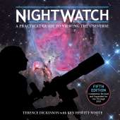
Updated star maps include all sky events occurring in 2017 and beyond.
Praise for the previous edition:
"A concise introduction to the night sky suitable for the beginning stargazer... The text is clear and easy to read... Recommended."
-- Choice
"An ideal portable reference for backyard astronomers. This atlas combines clear, accurate star maps with reliable and informative text."
-- The Lunar and Planetary Information Bulletin
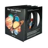
Night Sky Atlas is a highly practical atlas for sky gazers using binoculars or a small telescope. It combines clear, accurate star maps with reliable and informative text and color photographs of the solar system. The book is designed for practical use, with a lay-flat binding and cover flaps that help when in the field. The large format makes it easy to read the detailed maps and enjoy the beautiful photographs.
The book includes:
- Sturdy plastic-laminated binding suitable for outdoor use
- Sewn binding that allows double-page reading and flaps to use as page-markers
- Constellation maps with yellow stars on a blue background for easy reference
- Black and white relief maps show interesting sections of the Moon's surface.
- Star maps with black stars on a white background, ideal for penciling in observations
- The book's back flap lists the constellations with page numbers for quick access
- The high-quality paper can withstand repeated use of an eraser.
Opposite each map is a photorealistic image that shows how the same portion of sky looks to the naked eye, which allows less-experienced observers to locate and identify objects. The maps can be used for planning observations, navigating from one part of the sky to another, and as a quick reference guide.
Specifications
No posts found
