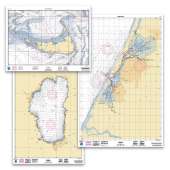
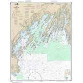
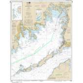
The wholesale discount on this item may display incorrectly when you order.
- We will correct this when processing you order.
- The correct discount is 45% off the retail price.
- Please contact our office with any questions.
-
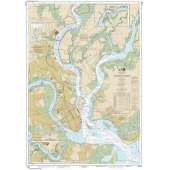
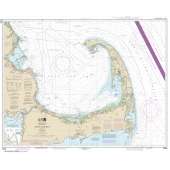
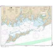
This chart has been canceled by NOAA as of 08/31/22 and is no longer maintained with updated data.
- Chart is NOT up-to-date since it is out of continual maintenance ·
- Chart is NOT updated daily and being printed on demand will NOT provide the latest published data possible
- This is NOT the most fully corrected, up-to-date U.S. charts available
- Chart is NOT updated weekly and does NOT include all of the latest Notice to Mariners corrections.
- The data from which this POD chart is produced is NOT certified by NOAA for navigation use, and is NOT correct to the date of printing
- Future Notice to Mariners corrections will NOT be applied to this chart
- This product will NOT meet U. S. and international carriage requirements for commercial vessels defined in SOLAS Chapter V Regulation 19.2.1.373
- The chart is NOT a U. S. Coast Guard approved product.
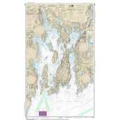
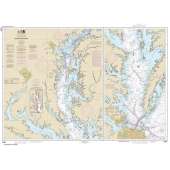
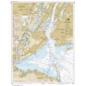
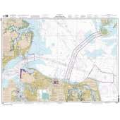
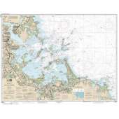
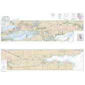
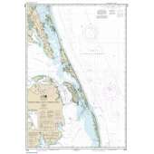
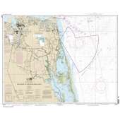
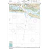
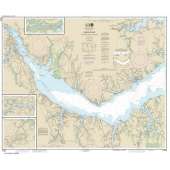
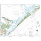
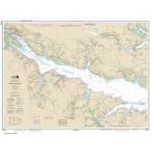
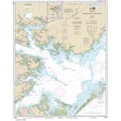
This chart covers the following regions: Mid-Atlantic, Portsmouth to Hog Island, Portsmouth to Hog Island.

