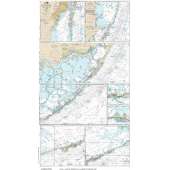
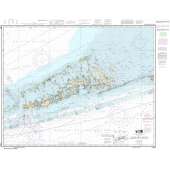
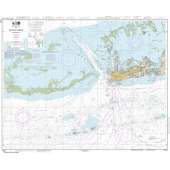
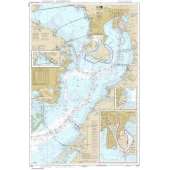
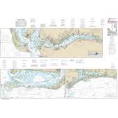
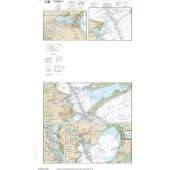
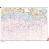
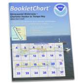
30 reduced-scale complete NOAA charts of Puerto Rico and the U.S. Virgin Islands. Also includes most of the British Virgin Islands. Spiral-bound in a large format (12x18") booklet. Printed on high-quality paper and updated regularly.
Not recommended for navigation, but handy for reference and planning.
Each chart atlas includes a map key at the beginning which helps you locate the charts inside.
- Charts are organized numerically by chart number
- Easy-to-read map grid clearly indicates each chart's area of coverage
Includes the following NOAA charts:
- 25640
- 25641
- 25644
- 25645
- 25647
- 25649
- 25650
- 25653
- 25644
- 25655
- 25659
- 25661
- 25663
- 25664
- 25665
- 25666
- 25667
- 25668
- 25669
- 25670
- 25671
- 25673
- 25675
- 25677
- 25679
- 25681
- 25683
- 25685
- 25687
- 25689
