Paradise Cay Publications is listed by NOAA as a NOAA Custom Chart (NCC) printing vendor.
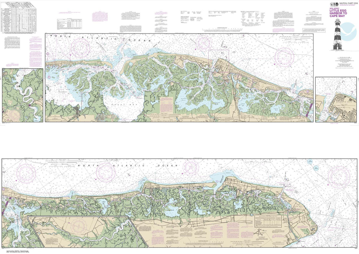
HISTORICAL NOAA Chart 12316: Intracoastal Waterway Little Egg Harbor to Cape May;Atlantic City
HISTORICAL NOAA Chart 12324: Intracoastal Waterway Sandy Hook to Little Egg Harbor
HISTORICAL NOAA Chart 12343: Hudson River New York to Wappinger Creek
HISTORICAL NOAA Chart 12352: Shinnecock Bay to East Rockaway Inlet (9 PAGE FOLIO)
HISTORICAL NOAA Chart 12364: Long Island Sound-New Haven Harbor Entrance and Port Jefferson to Throgs Neck (9 PAGE FOLIO)
HISTORICAL NOAA Chart 12372: Long Island Sound-Watch Hill to New Haven Harbor (6 PAGE FOLIO)
HISTORICAL NOAA Chart 13229: South Coast of Cape Cod and Buzzards Bay (8 PAGE FOLIO)
HISTORICAL NOAA Chart 13274: Portsmouth Harbor to Boston Harbor; Merrimack River Extension
HISTORICAL NOAA Chart 14500: Great Lakes: Lake Champlain to Lake of the Woods
HISTORICAL NOAA Chart 14786: NEW YORK STATE BARGE CANAL SYSTEM (70 page Booklet)
HISTORICAL NOAA Chart 14820: Lake Erie
HISTORICAL NOAA Chart 14846: West End of Lake Erie from Perrysburg, OH., of the Maumee R. to Huron R., Mich., and Bar Pt., Ont.
HISTORICAL NOAA Chart 14853: DETROIT RIVER / LAKE ST. CLAIR / ST, CLAIR (53 PAGE BOOKLET)
HISTORICAL NOAA Chart 14886: Inland Route, Cheboygan to Conway (14 page booklet)
HISTORICAL NOAA Chart 14904: Port Washington to Waukegan;Kenosha;North Point Marina;Port Washington;Waukegan
HISTORICAL NOAA Chart 14906: South Haven to Stony Lake;South Haven;Port Sheldon;Saugatuck Harbor
HISTORICAL NOAA Chart 14916: LAKE WINNEBAGO & LOWER FOX RIVER (38 PAGE BOOKLET)
HISTORICAL NOAA Chart 14926: CHICAGO and SOUTH SHORE OF LAKE MICHIGAN (32 PAGE BOOKLET)
HISTORICAL NOAA Chart 14984: Sea Gull Lake
HISTORICAL NOAA Chart 14985: Saganaga Lake
HISTORICAL NOAA Chart 14986: Knife Lake
HISTORICAL NOAA Chart 14987: Basswood Lake: Eastern Part
HISTORICAL NOAA Chart 14988: Basswood Lake: Western Part
HISTORICAL NOAA Chart 14989: Crooked Lake
Have an account? Log in to check out faster.
FAA custom area chart
FAA Chart: VFR Sectional NEW YORK
NOAA Custom Chart (NCC) Printing
FAA Chart: VFR TAC NEW YORK