



Best Sellers
Our best-selling charts, books and guides right now.
Our best-selling charts, books and guides right now.

Tidepools of the Pacific Northwest Coast - Folding Guide

CHS Chart 7502: Gulf of Boothia and/et Committee Bay

Richard Scarry's Cars and Trucks and Things That Go: 50th Anniversary Edition - Book

CHS Chart 4025: Cap Whittle à/to Havre-Saint-Pierre et/and Île d'Anticosti

Voices in the Stones - Life Lessons from the Native Way - Book

Wildlife Rescue: How to Save an Otter - Book

The Forests of California: A California Field Atlas - Book

Silent Swoop: An Owl, an Egg, and a Warm Shirt Pocket - Book


NOAA Chart 11519: Parts of Coosaw and Broad Rivers


Fandex Kids: Ocean: Facts That Fit in Your Hand: 49 Sea Creatures Inside!


NOAA Chart 18746: San Pedro Channel;Dana Point Harbor

Sea Kayaking Central and Northern California, 2nd - Book


FAA CHART: Caribbean VFR Aeronautical Chart 1

CHS Chart 7572: Viscount Melville Sound and/et M'clure Strait

Hawaii Marine Mammal Identification Guide - Book


NOAA Chart 12358: New York Long Island: Shelter Island Sound and Peconic Bays;Mattituck Inlet

NGA Chart 29005: Cape Herlacher to Matha Strait

HISTORICAL NOAA Booklet Chart 1114A: Tampa Bay to Cape San Blas (Oil and Gas Leasing Areas)


HISTORICAL NOAA Chart 12206: Intracoastal Waterway Norfolk to Albemarle Sound via North Landing River or Great Dismal Swamp Canal

Waterway Guide Great Lakes V2 Western 2024 - Book

CHS Chart 3868: Port Louis to/à Langara Island

The Secret Woodland Activity Book - Book


NOAA Chart 18588: Coquille River Entrance

Where The Language Lives: Vi Hilbert And The Gift Of Lushootseed - Book


NOAA Chart 18428: Oak and Crescent Harbors

Historical Chart: Oregon Territory 1841 (36 x 25 inches)


FAA Chart: Enroute Low Altitude CARIBBEAN 1/2


NOAA Chart 18446: Puget Sound-Apple Cove Point to Keyport;Agate Passage


Earth-Shattering Events: Volcanoes, earthquakes, cyclones, tsunamis and other natural disasters - Book


NOAA Chart 12289: Potomac River Mattawoman Creek to Georgetown;Washington Harbor

CHS Chart 4024: Baie des Chaleurs/Chaleur Bay aux/to Îles de la Madeleine

CHS Chart 7071: Cape Norton Shaw to Cape M'Clintock


Easy Peely Diggers - Peel, Stick, Play! - Board Book

CHS Chart 7950: Jones Sound,Norwegion Bay and Queens Channel

CHS Chart 7783: Queen Maud Gulf Eastern Portion/Partie est


Building a Survival Kit - Folding Pocket Guide

12" Brushed Aluminum Arms Parallel Rule #140

Astronomy For Dummies 4th Edition - Book

There's a Squishy Yeti in my Book! - Book

Hawaii Reef Fish Field Guide #2 - Laminated Card

CHS Chart 3920: Nass Bay, Alice Arm and Approaches/et les approches

NGA Chart 27211: Cayo Yuraguana to Cayos Manopla

Portsmouth Harbor's Military and Naval Heritage - Book

The Night Sky: A Folding Pocket Guide to the Moon, Stars, Planets & Celestial Events - Folding Pocket Guide

What the F*@# Should I Make for Dinner?: The Answers to Life's Everyday Question (in 50 F*@#ing Recipes) - Book

Charlie's Charts: SOUTHERN CALIFORNIA - Guide Book


NOAA Chart 18744: Santa Monica Bay;King Harbor

Beyond Buds, Next Generation: Marijuana Concentrates and Cannabis Infusions - Book


NOAA Chart 12334: New York Harbor Upper Bay and Narrows-Anchorage Chart

Seraffyn's Mediterranean Adventure 30th Anniversary Edition - Book


NOAA Chart 18524: Columbia River Crims Island to Saint Helens

CHS Chart 3604: Nootka Sound to/à Quatsino Sound

The Secret World of Lichens: A Young Naturalist's Guide - Book

The Deserts of California - A California Field Atlas - Book


NOAA Chart 12264: Chesapeake Bay Patuxent River and Vicinity


NOAA Chart 18663: San Joaquin River Stockton Deep Water Channel Medford Island to Stockton

Slow Down: 50 Mindful Moments in Nature - Book

HISTORICAL NOAA Booklet Chart 1113A: Havana to Tampa Bay (Oil and Gas Leasing Areas)

CHS Chart 7136: Cape Mercy and Approaches/et les Approches


NOAA Chart 12233: Potomac River Chesapeake Bay to Piney Point

The Great Googly Moogly (Child's Play Library) - Book


NOAA Chart 18649: Entrance to San Francisco Bay

CHS Chart 7668: Prince Albert Sound, Western Portion/ Partie Ouest


The Oceans Atlas: A Pictorial Guide to the World's Waters - Book


NOAA Chart 18543: Columbia River Pasco to Richland

Base Camp Las Vegas: 101 Hikes in the Southwest - Book


NOAA Chart 18471: Approaches to Admiralty Inlet Dungeness to Oak Bay

CHS Chart 4023: Northumberland Strait / Détroit de Northumberland

This Indian Kid: A Native American Memoir - Book

Return to Solitude: More Desolation Sound Adventures with the Cougar Lady, Russell the Hermit, the Spaghetti Bandit and Others - Book

Animals of the National Parks Travel Matching Game

Three Bears of the Pacific Northwest - Board Book


Florida Seashore Life: A Waterproof Folding Guide to Familiar Animals & Plants - Folding Pocket Guide

Where We Call Home: Lands, Seas, and Skies of the Pacific Northwest - Book


NOAA Chart 11537: Cape Fear River Cape Fear to Wilmington

Beautiful Bugs Activity Book: An Introduction to Insects for Kids - Book

Fandex Kids: Bugs: Facts That Fit in Your Hand: 49 Incredible Insects, Spiders & More!

Birding Without Borders: An Obsession, a Quest, and the Biggest Year in the World - Book


Waterway Guide Florida Keys 4th Ed. - Book

We're Going on a Bear Hunt: My Explorer's Journal - Book

Day Hikes in the Columbia River Gorge: Hiking Loops, High Points, and Waterfalls within the Columbia River Gorge National Scenic Area - Book


NOAA Chart 12288: Potomac River Lower Cedar Point to Mattawoman Creek

The Sorcerer's Apprentice (Disney Classic) - Book

Braiding Sweetgrass: Indigenous Wisdom, Scientific Knowledge and the Teachings of Plants - Book

CHS Chart 7782: Queen Maud Gulf Western Portion/Partie Ouest


BEAST (Bigfoot Expedition and Survival Tool) 2.0 - Utility Tool


HISTORICAL NOAA Chart 12205: Cape Henry to Pamlico Sound, Including Albemarle Sd.; Rudee Heights (6 PAGE FOLIO)

CHS Chart 7489: Navy Channel to/à Longstaff Bluff

Essential Knots For Search and Rescue and Survival - Folding Pocket Guide

California Coast Field Guide: Sportfish - Laminated Card

CHS Chart 3865: Englefield Bay and Vicinity


Carros y camiones de Richard Scarry (Richard Scarry's: Cars and Trucks and Things that Go Spanish Edition) - Book


Basic & Primitive Navigation - Folding Pocket Guide

NGA Chart 28190: Ambergris Cay to Isla Cozumel


NOAA Chart 18740: San Diego to Santa Rosa Island

Best Easy Day Hikes Redwood National and State Parks (Falcon Guides) - Book


NOAA Chart 12354: Long Island Sound Eastern part


Words of the World Series: Ocean Animals (Multilingual) - Board Book

FAA Chart: Enroute Low Altitude ALASKA FULL SET
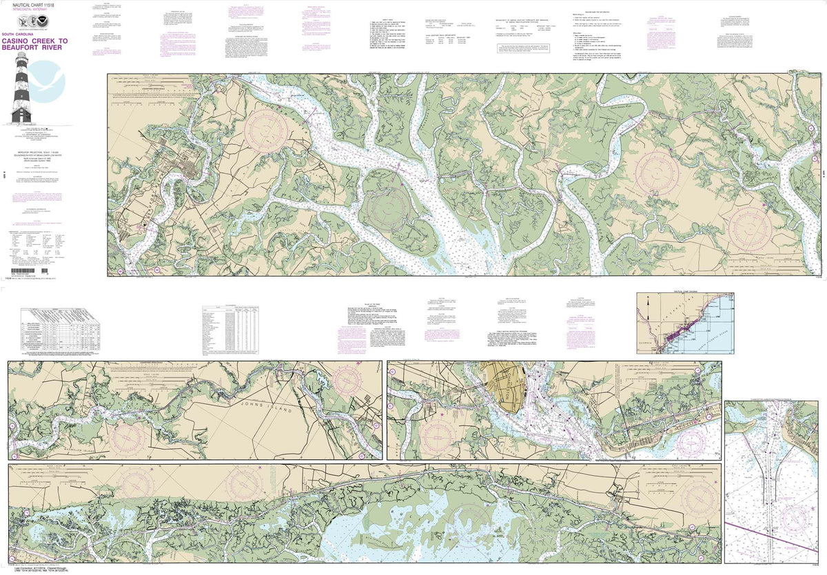

HISTORICAL NOAA Chart 11518: Intracoastal Waterway Casino Creek to Beaufort River

Mermaids and Dolphins: and magical creatures of the sea CARDS - Book

Creative Ropecraft: A Treasure Trove of Knots, Hitches, Bends, Plaits and Netting - Book


NOAA Chart 12333: Kill Van Kull and Northern Part of Arthur Kill

My Little Golden Book About Sharks - Book

CHS Chart 4022: Cabot Strait and approaches / Détroit de Cabot et les approches, Scatarie Island to/à Anticosti ...

Florida Sport Fish Field Guide - Laminated Card

CHS Chart 3912: Plans, Vicinity of/Proximité de Banks Island

NGA Chart 27207: Punta San Jose to Manzanillo


Drive & Seek Ocean - A Magic Find & Count Adventure - Board Book

Ten Minutes to Bed: Little Mermaid - Book

The Forest Unseen: A Year's Watch in Nature - Book

CHS Chart 3795: Langley Passage, Estevan Group

Colorado Gold and Gems Map, Then and Now

Haboo: Native American Stories from Puget Sound - Book

CHS Chart 3945: Approaches to/Approches à Douglas Channel

CHS Chart 7302: Lady Ann Strait to Smith Sound

The Small And Mighty Book Of Bears: Pocket-Sized Books, Massive Facts! - Book


Leila Duly’s Beautiful Planet: An Intricate - Coloring Book

CHS Chart 7667: Dolphin and Union Strait To/ A Prince Albert Sound

Charlie's Charts: U.S. PACIFIC COAST - Guide Book


HISTORICAL NOAA Chart 18445: Puget Sound-Possession Sound to Olympia including Hood Canal (6 PAGE FOLIO)

NGA Chart 28120: Puerto Isabel to Laguna de Perlas


NOAA Chart 18523: Columbia River Harrington Point to Crims Island


NOAA Chart 12263: Chesapeake Bay Cove Point to Sandy Point


NOAA Chart 18427: Anacortes to Skagit Bay

Historical Chart: Shelter Cove 1881 (36x40)

The Cannabis Breeder's Bible: The Definitive Guide to Marijuana Genetics, Cannabis Botany and Creating Strains for the Seed Market - Book

CHS Chart 3603: Ucluelet Inlet to/à Nootka Sound

CHS Chart 3978: Bonilla Island to/à Edye Passage


FAA Chart: Enroute Low Altitude L 29/30

Basic Navigation For Search and Rescue and Survival - Folding Pocket Guide

A Californian's Guide to the Trees among Us: Expanded and Updated - Book

CHS Chart 7067: Spicer Islands to West Entrance of Fury and Hecla Strait

Cat's Seasons (Child's Play Library) - Book


Scratch-Off Hidden Pictures Animal Puzzles - Book


Redwood National and State Parks - South 6th Ed 2023 (FOLDED MAP)

Haunted Inside Passage: Ghosts, Legends, and Mysteries of Southeast Alaska - Book


NOAA Chart 12231: Chesapeake Bay Tangier Sound Northern Part


NOAA Chart 18729: Anacapa Passage;Prisoners Harbor


FAA Chart: U.S. GULF COAST VFR Aeronautical Chart


HISTORICAL NOAA Chart 18542: Columbia River Juniper to Pasco

Waterway Guide Cuba, 2nd Edition - Book

Weems & Plath Marine Navigation Course and Leg Identifier for Search and Rescue


Marine Diesel Engine Essentials: A Learning and Coloring Book - Book

Arrowheads and Stone Artifacts, Third Edition: A Practical Guide for the Amateur Archaeologist - Book

CHS Chart 4021: Pointe Amour à/to Cape Whittle et/and Cape George

The Scavenger's Guide to Haute Cuisine: How I Spent a Year in the American Wild to Re-create a Feast from the Classic Recipes of French Master Chef Auguste Escoffier - Book


NOAA Chart 11536: Approaches to Cape Fear River

NGA Chart 29127: Matha Strait to Argentine Islands


NOAA Chart 12287: Potomac River Dahlgren and Vicinity

CHS Chart 7941: Nansen Sound and Greely Fiord

Cabin: Off the Grid Adventures with a Clueless Craftsman - Book


Tidepools of the California Coast - Folding Pocket Guide

CHS Chart 3545: Johnstone Strait, Port Neville to/à Robson Bight


NOAA Chart 12204: Currituck Beach Light to Wimble Shoals

Mexico Pacific Coast Birds Guide - Folding Pocket Guide

As Long as It's Fun: The Epic Voyages and Extraordinary Times of Lin and Larry Pardey - Book

Fossils for Kids: an Introduction to Paleontology - Book


NOAA Chart 12332: Raritan River Raritan Bay to New Brunswick

Portsmouth: An Old Town by the Sea - Book

CHS Chart 3911: Plans Vicinity of/Proximité de Princess Royal Island

My Little Golden Book About Dinosaurs - Book


