




NOAA Nautical Charts Printed to Order
✓ Includes up-to-date NCC charts
Most charts come in the up-to-date NOAA Custom Chart (NCC) edition, printed from current NOAA data, or as NOAA’s final paper edition. Any chart can also be made as an 8.5 x 11 NCC Chart Booklet. Pick the size, paper and edition on each chart’s page.

- Full sizePaper or waterproof$24.95 / $28.95
- Large formatPaper$32.95
- Small formatPaper or waterproof$14.95
- AntiquedDecorative paper$34.95
- NCC Chart Booklet8.5 x 11, any chart, made to order$14.95 →
- NOAA BookletChart8.5 x 11, NOAA final edition$12.95 →
Enter a chart number or area here


Sort Featured
-


NOAA Chart 11321: San Luis Pass to East Matagorda Bay
NOAA Chart 11321: San Luis Pass to East Matagorda Bay
SKU: NO_11321$24.95 -


HISTORICAL NOAA Chart 11322: Intracoastal Waterway Galveston Bay to Cedar Lakes
HISTORICAL NOAA Chart 11322: Intracoastal Waterway Galveston Bay to Cedar Lakes
SKU: NO_11322$24.95 -


NOAA Chart 11323: Approaches to Galveston Bay
NOAA Chart 11323: Approaches to Galveston Bay
SKU: NO_11323$24.95 -


NOAA Chart 11324: Galveston Bay Entrance Galveston and Texas City Harbors
NOAA Chart 11324: Galveston Bay Entrance Galveston and Texas City Harbors
SKU: NO_11324$24.95 -


NOAA Chart 11325: Houston Ship Channel Carpenters Bayou to Houston
NOAA Chart 11325: Houston Ship Channel Carpenters Bayou to Houston
SKU: NO_11325$24.95 -


HISTORICAL NOAA Chart 11326: Galveston Bay
HISTORICAL NOAA Chart 11326: Galveston Bay
SKU: NO_11326$24.95 -


NOAA Chart 11327: Upper Galveston Bay-Houston Ship Channel-Dollar Pt. to Atkinson
NOAA Chart 11327: Upper Galveston Bay-Houston Ship Channel-Dollar Pt. to Atkinson
SKU: NO_11327$24.95 -


NOAA Chart 11328: Houston Ship Channel Atkinson Island to Alexander Island
NOAA Chart 11328: Houston Ship Channel Atkinson Island to Alexander Island
SKU: NO_11328$24.95 -


NOAA Chart 11329: Houston Ship Channel Alexander Island to Carpenters Bayou;San Jacinto and Old Rivers
NOAA Chart 11329: Houston Ship Channel Alexander Island to Carpenters Bayou;San Jacinto and Old Rivers
SKU: NO_11329$24.95 -


NOAA Chart 11330: Mermentau River to Freeport
NOAA Chart 11330: Mermentau River to Freeport
SKU: NO_11330$24.95 -


HISTORICAL NOAA Chart 11331: Intracoastal Waterway Ellender to Galveston Bay
HISTORICAL NOAA Chart 11331: Intracoastal Waterway Ellender to Galveston Bay
SKU: NO_11331$24.95 -
-


HISTORICAL NOAA Chart 11339: Calcasieu River and Approaches
HISTORICAL NOAA Chart 11339: Calcasieu River and Approaches
SKU: NO_11339$24.95 -


NOAA Chart 11340: Mississippi River to Galveston
NOAA Chart 11340: Mississippi River to Galveston
SKU: NO_11340$24.95 -


NOAA Chart 11341: Calcasieu Pass to Sabine Pass
NOAA Chart 11341: Calcasieu Pass to Sabine Pass
SKU: NO_11341$24.95 -
-


NOAA Chart 11343: Sabine and Neches Rivers
NOAA Chart 11343: Sabine and Neches Rivers
SKU: NO_11343$24.95 -


NOAA Chart 11344: Rollover Bayou to Calcasieu Pass
NOAA Chart 11344: Rollover Bayou to Calcasieu Pass
SKU: NO_11344$24.95 -


NOAA Chart 11345: Intracoastal Waterway New Orleans to Calcasieu River West Section
NOAA Chart 11345: Intracoastal Waterway New Orleans to Calcasieu River West Section
SKU: NO_11345$24.95 -


HISTORICAL NOAA Chart 11346: Port Fourchon and Approaches
HISTORICAL NOAA Chart 11346: Port Fourchon and Approaches
SKU: NO_11346$24.95 -


HISTORICAL NOAA Chart 11347: Calcasieu River and Lake
HISTORICAL NOAA Chart 11347: Calcasieu River and Lake
SKU: NO_11347$24.95 -


HISTORICAL NOAA Chart 11348: Intracoastal Waterway Forked Island to Ellender: including the Mermantau River: Grand Lake and White Lake
HISTORICAL NOAA Chart 11348: Intracoastal Waterway Forked Island to Ellender: including the Mermantau River: Grand Lake and White Lake
SKU: NO_11348$24.95 -


NOAA Chart 11349: Vermilion Bay and approaches
NOAA Chart 11349: Vermilion Bay and approaches
SKU: NO_11349$24.95 -


HISTORICAL NOAA Chart 11350: Intracoastal Waterway Wax Lake Outlet to Forked Island including Bayou Teche: Vermilion River: and Freshwater Bayou
HISTORICAL NOAA Chart 11350: Intracoastal Waterway Wax Lake Outlet to Forked Island including Bayou Teche: Vermilion River: and Freshwater Bayou
SKU: NO_11350$24.95 -


NOAA Chart 11351: Point au Fer to Marsh Island
NOAA Chart 11351: Point au Fer to Marsh Island
SKU: NO_11351$24.95 -


NOAA Chart 11352: Intracoastal Waterway New Orleans to Calcasieu River East Section
NOAA Chart 11352: Intracoastal Waterway New Orleans to Calcasieu River East Section
SKU: NO_11352$24.95 -


NOAA Chart 11353: Baptiste Collette Bayou to Mississippi River Gulf Outlet;Baptiste Collette Bayou Extension
NOAA Chart 11353: Baptiste Collette Bayou to Mississippi River Gulf Outlet;Baptiste Collette Bayou Extension
SKU: NO_11353$24.95 -


HISTORICAL NOAA Chart 11354: Intracoastal Waterway Morgan City to Port Allen: including the Atchafalaya River
HISTORICAL NOAA Chart 11354: Intracoastal Waterway Morgan City to Port Allen: including the Atchafalaya River
SKU: NO_11354$24.95 -


HISTORICAL NOAA Chart 11355: Intracoastal Waterway Catahoula Bay to Wax Lake Outlet including the Houma Navigation canal
HISTORICAL NOAA Chart 11355: Intracoastal Waterway Catahoula Bay to Wax Lake Outlet including the Houma Navigation canal
SKU: NO_11355$24.95 -


NOAA Chart 11356: Isles Dernieres to Point au Fer
NOAA Chart 11356: Isles Dernieres to Point au Fer
SKU: NO_11356$24.95 -


NOAA Chart 11357: Timbalier and Terrebonne Bays
NOAA Chart 11357: Timbalier and Terrebonne Bays
SKU: NO_11357$24.95 -


NOAA Chart 11358: Barataria Bay and approaches
NOAA Chart 11358: Barataria Bay and approaches
SKU: NO_11358$24.95 -


NOAA Chart 11359: Loop Deepwater Port Louisiana Offshore Oil Port
NOAA Chart 11359: Loop Deepwater Port Louisiana Offshore Oil Port
SKU: NO_11359$24.95 -


NOAA Chart 11360: Cape St. George to Mississippi Passes
NOAA Chart 11360: Cape St. George to Mississippi Passes
SKU: NO_11360$24.95 -


NOAA Chart 11361: Mississippi River Delta;Southwest Pass;South Pass;Head of Passes
NOAA Chart 11361: Mississippi River Delta;Southwest Pass;South Pass;Head of Passes
SKU: NO_11361$24.95 -


NOAA Chart 11363: Chandeleur and Breton Sounds
NOAA Chart 11363: Chandeleur and Breton Sounds
SKU: NO_11363$24.95 -


NOAA Chart 11364: Mississippi River-Venice to New Orleans
NOAA Chart 11364: Mississippi River-Venice to New Orleans
SKU: NO_11364$24.95 -


HISTORICAL NOAA Chart 11365: Barataria and Bayou Lafourche Waterways Intracoastal Waterway to Gulf of Mexico
HISTORICAL NOAA Chart 11365: Barataria and Bayou Lafourche Waterways Intracoastal Waterway to Gulf of Mexico
SKU: NO_11365$24.95 -


NOAA Chart 11366: Approaches to Mississippi River
NOAA Chart 11366: Approaches to Mississippi River
SKU: NO_11366$24.95 -


HISTORICAL NOAA Chart 11367: Intracoastal Waterway Waveland to Catahoula Bay
HISTORICAL NOAA Chart 11367: Intracoastal Waterway Waveland to Catahoula Bay
SKU: NO_11367$24.95 -


NOAA Chart 11368: New Orleans Harbor Chalmette Slip to Southport
NOAA Chart 11368: New Orleans Harbor Chalmette Slip to Southport
SKU: NO_11368$24.95 -


NOAA Chart 11369: Lakes Pontchartrain and Maurepas
NOAA Chart 11369: Lakes Pontchartrain and Maurepas
SKU: NO_11369$24.95 -


HISTORICAL NOAA Chart 11370: Mississippi River-New Orleans to Baton Rouge
HISTORICAL NOAA Chart 11370: Mississippi River-New Orleans to Baton Rouge
SKU: NO_11370$24.95 -


NOAA Chart 11371: Lake Borgne and approaches Cat Island to Point aux Herbes
NOAA Chart 11371: Lake Borgne and approaches Cat Island to Point aux Herbes
SKU: NO_11371$24.95 -


HISTORICAL NOAA Chart 11372: Intracoastal Waterway Dog Keys Pass to Waveland
HISTORICAL NOAA Chart 11372: Intracoastal Waterway Dog Keys Pass to Waveland
SKU: NO_11372$24.95 -


NOAA Chart 11373: Mississippi Sound and approaches Dauphin Island to Cat Island
NOAA Chart 11373: Mississippi Sound and approaches Dauphin Island to Cat Island
SKU: NO_11373$24.95 -


HISTORICAL NOAA Chart 11374: Intracoastal Waterway Dauphin Island to Dog Keys Pass
HISTORICAL NOAA Chart 11374: Intracoastal Waterway Dauphin Island to Dog Keys Pass
SKU: NO_11374$24.95 -
-


NOAA Chart 11376: Mobile Bay Mobile Ship Channel-Northern End
NOAA Chart 11376: Mobile Bay Mobile Ship Channel-Northern End
SKU: NO_11376$24.95 -


NOAA Chart 11377: Mobile Bay Approaches and Lower Half
NOAA Chart 11377: Mobile Bay Approaches and Lower Half
SKU: NO_11377$24.95 -


HISTORICAL NOAA Chart 11378: Intracoastal Waterway Santa Rosa Sound to Dauphin Island
HISTORICAL NOAA Chart 11378: Intracoastal Waterway Santa Rosa Sound to Dauphin Island
SKU: NO_11378$24.95 -


NOAA Chart 11380: Mobile Bay East Fowl River to Deer River Pt; Mobile Middle Bay Terminal
NOAA Chart 11380: Mobile Bay East Fowl River to Deer River Pt; Mobile Middle Bay Terminal
SKU: NO_11380$24.95 -


NOAA Chart 11382: Pensacola Bay and approaches
NOAA Chart 11382: Pensacola Bay and approaches
SKU: NO_11382$24.95 -
-


NOAA Chart 11384: Pensacola Bay Entrance
NOAA Chart 11384: Pensacola Bay Entrance
SKU: NO_11384$24.95 -


HISTORICAL NOAA Chart 11385: Intracoastal Waterway West Bay to Santa Rosa Sound
HISTORICAL NOAA Chart 11385: Intracoastal Waterway West Bay to Santa Rosa Sound
SKU: NO_11385$24.95 -
-


NOAA Chart 11389: St Joseph and St Andrew Bays
NOAA Chart 11389: St Joseph and St Andrew Bays
SKU: NO_11389$24.95 -


NOAA Chart 11390: Intracoastal Waterway East Bay to West Bay
NOAA Chart 11390: Intracoastal Waterway East Bay to West Bay
SKU: NO_11390$24.95 -
-


NOAA Chart 11392: St. Andrew Bay - Bear Point to Sulpher Point
NOAA Chart 11392: St. Andrew Bay - Bear Point to Sulpher Point
SKU: NO_11392$24.95 -


NOAA Chart 11393: Intracoastal Waterway Lake Wimico to East Bay
NOAA Chart 11393: Intracoastal Waterway Lake Wimico to East Bay
SKU: NO_11393$24.95 -


NOAA Chart 11400: Tampa Bay to Cape San Blas
NOAA Chart 11400: Tampa Bay to Cape San Blas
SKU: NO_11400$24.95 -


NOAA Chart 11401: Apalachicola Bay to Cape San Blas
NOAA Chart 11401: Apalachicola Bay to Cape San Blas
SKU: NO_11401$24.95 -


NOAA Chart 11402: Intracoastal Waterway Apalachicola Bay to Lake Wimico
NOAA Chart 11402: Intracoastal Waterway Apalachicola Bay to Lake Wimico
SKU: NO_11402$24.95 -


NOAA Chart 11404: Intracoastal Waterway Carrabelle to Apalachicola Bay;Carrabelle River
NOAA Chart 11404: Intracoastal Waterway Carrabelle to Apalachicola Bay;Carrabelle River
SKU: NO_11404$24.95 -
-


NOAA Chart 11406: St.Marks River and approaches
NOAA Chart 11406: St.Marks River and approaches
SKU: NO_11406$24.95 -


NOAA Chart 11407: Horseshoe Point to Rock Islands;Horseshoe Beach
NOAA Chart 11407: Horseshoe Point to Rock Islands;Horseshoe Beach
SKU: NO_11407$24.95 -


NOAA Chart 11408: Crystal River to Horseshoe Point;Suwannee River;Cedar Keys
NOAA Chart 11408: Crystal River to Horseshoe Point;Suwannee River;Cedar Keys
SKU: NO_11408$24.95 -


NOAA Chart 11409: Anclote Keys to Crystal River
NOAA Chart 11409: Anclote Keys to Crystal River
SKU: NO_11409$24.95 -


HISTORICAL NOAA Chart 11411: Intracoastal Waterway Tampa Bay to Port Richey
HISTORICAL NOAA Chart 11411: Intracoastal Waterway Tampa Bay to Port Richey
SKU: NO_11411$24.95 -


NOAA Chart 11412: Tampa Bay and St. Joseph Sound
NOAA Chart 11412: Tampa Bay and St. Joseph Sound
SKU: NO_11412$24.95 -


NOAA Chart 11415: Tampa Bay Entrance; Manatee River Extension
NOAA Chart 11415: Tampa Bay Entrance; Manatee River Extension
SKU: NO_11415$24.95 -


NOAA Chart 11416: Tampa Bay;Safety Harbor;St. Petersburg;Tampa
NOAA Chart 11416: Tampa Bay;Safety Harbor;St. Petersburg;Tampa
SKU: NO_11416$24.95 -
-


NOAA Chart 11424: Lemon Bay to Passage Key Inlet
NOAA Chart 11424: Lemon Bay to Passage Key Inlet
SKU: NO_11424$24.95 -


HISTORICAL NOAA Chart 11425: Intracoastal Waterway Charlotte Harbor to Tampa Bay
HISTORICAL NOAA Chart 11425: Intracoastal Waterway Charlotte Harbor to Tampa Bay
SKU: NO_11425$24.95 -


NOAA Chart 11426: Estero Bay to Lemon Bay: including Charlotte Harbor;Continuation of Peace River
NOAA Chart 11426: Estero Bay to Lemon Bay: including Charlotte Harbor;Continuation of Peace River
SKU: NO_11426$24.95 -


HISTORICAL NOAA Chart 11427: Intracoastal Waterway Fort Myers to Charlotte Harbor and Wiggins Pass
HISTORICAL NOAA Chart 11427: Intracoastal Waterway Fort Myers to Charlotte Harbor and Wiggins Pass
SKU: NO_11427$24.95 -


HISTORICAL NOAA Chart 11428: Okeechobee Waterway St. Lucie Inlet to Fort Myers; Lake Okeechobee
HISTORICAL NOAA Chart 11428: Okeechobee Waterway St. Lucie Inlet to Fort Myers; Lake Okeechobee
SKU: NO_11428$24.95 -


NOAA Chart 11429: Chatham River to Clam Pass;Naples Bay;Everglades Harbor
NOAA Chart 11429: Chatham River to Clam Pass;Naples Bay;Everglades Harbor
SKU: NO_11429$24.95 -


HISTORICAL NOAA Chart 11430: Lostmans River to Wiggins Pass
HISTORICAL NOAA Chart 11430: Lostmans River to Wiggins Pass
SKU: NO_11430$24.95 -


NOAA Chart 11431: East Cape to Mormon Key
NOAA Chart 11431: East Cape to Mormon Key
SKU: NO_11431$24.95 -


NOAA Chart 11432: Everglades National Park Shark River to Lostmans River
NOAA Chart 11432: Everglades National Park Shark River to Lostmans River
SKU: NO_11432$24.95 -


NOAA Chart 11433: Everglades National Park Whitewater Bay
NOAA Chart 11433: Everglades National Park Whitewater Bay
SKU: NO_11433$24.95 -


NOAA Chart 11434: Florida Keys Sombrero Key to Dry Tortugas
NOAA Chart 11434: Florida Keys Sombrero Key to Dry Tortugas
SKU: NO_11434$24.95 -


NOAA Chart 11438: Dry Tortugas;Tortugas Harbor
NOAA Chart 11438: Dry Tortugas;Tortugas Harbor
SKU: NO_11438$24.95 -


NOAA Chart 11439: Sand Key to Rebecca Shoal
NOAA Chart 11439: Sand Key to Rebecca Shoal
SKU: NO_11439$24.95 -


NOAA Chart 11441: Key West Harbor and Approaches
NOAA Chart 11441: Key West Harbor and Approaches
SKU: NO_11441$24.95 -


NOAA Chart 11442: Florida Keys Sombrero Key to Sand Key
NOAA Chart 11442: Florida Keys Sombrero Key to Sand Key
SKU: NO_11442$24.95 -


NOAA Chart 11445: Intracoastal Waterway Bahia Honda Key to Sugarloaf Key
NOAA Chart 11445: Intracoastal Waterway Bahia Honda Key to Sugarloaf Key
SKU: NO_11445$24.95 -


NOAA Chart 11446: Intracoastal Waterway Sugarloaf Key To Key West
NOAA Chart 11446: Intracoastal Waterway Sugarloaf Key To Key West
SKU: NO_11446$24.95 -
-


NOAA Chart 11448: Intracoastal Waterway Big Spanish Channel to Johnston Key
NOAA Chart 11448: Intracoastal Waterway Big Spanish Channel to Johnston Key
SKU: NO_11448$24.95 -


NOAA Chart 11449: Intracoastal Waterway Matecumbe to Grassy Key
NOAA Chart 11449: Intracoastal Waterway Matecumbe to Grassy Key
SKU: NO_11449$24.95 -


NOAA Chart 11450: Fowey Rocks to American Shoal
NOAA Chart 11450: Fowey Rocks to American Shoal
SKU: NO_11450$24.95 -


HISTORICAL NOAA Chart 11451: Miami to Marathon and Florida Bay (8 PAGE FOLIO)
HISTORICAL NOAA Chart 11451: Miami to Marathon and Florida Bay (8 PAGE FOLIO)
SKU: NO_11451$49.95 -


NOAA Chart 11452: Intracoastal Waterway Alligator Reef to Sombrero Key
NOAA Chart 11452: Intracoastal Waterway Alligator Reef to Sombrero Key
SKU: NO_11452$24.95 -


NOAA Chart 11453: Florida Keys Grassy Key to Bahia Honda Key
NOAA Chart 11453: Florida Keys Grassy Key to Bahia Honda Key
SKU: NO_11453$24.95 -


NOAA Chart 11459: Port of Palm Beach and Approaches
NOAA Chart 11459: Port of Palm Beach and Approaches
SKU: NO_11459$24.95 -


NOAA Chart 11460: Cape Canaveral to Key West
NOAA Chart 11460: Cape Canaveral to Key West
SKU: NO_11460$24.95 -


NOAA Chart 11462: Fowey Rocks to Alligator Reef
NOAA Chart 11462: Fowey Rocks to Alligator Reef
SKU: NO_11462$24.95 -


NOAA Chart 11463: Intracoastal Waterway Sands Key to Blackwater Sound
NOAA Chart 11463: Intracoastal Waterway Sands Key to Blackwater Sound
SKU: NO_11463$24.95 -


NOAA Chart 11464: Intracoastal Waterway Blackwater Sound To Matecumbe
NOAA Chart 11464: Intracoastal Waterway Blackwater Sound To Matecumbe
SKU: NO_11464$24.95 -


HISTORICAL NOAA Chart 11465: Intracoastal Waterway Miami to Elliot Key
HISTORICAL NOAA Chart 11465: Intracoastal Waterway Miami to Elliot Key
SKU: NO_11465$24.95 -


NOAA Chart 11466: Jupiter Inlet to Fowey Rocks;Lake Worth Inlet
NOAA Chart 11466: Jupiter Inlet to Fowey Rocks;Lake Worth Inlet
SKU: NO_11466$24.95 -


HISTORICAL NOAA Chart 11467: Intracoastal Waterway West Palm Beach to Miami
HISTORICAL NOAA Chart 11467: Intracoastal Waterway West Palm Beach to Miami
SKU: NO_11467$24.95 -
-


NOAA Chart 11469: Straits of Florida Fowey Rocks: Hillsboro Inlet to Bimini Islands: Bahamas
NOAA Chart 11469: Straits of Florida Fowey Rocks: Hillsboro Inlet to Bimini Islands: Bahamas
SKU: NO_11469$24.95 -


NOAA Chart 11470: Fort Lauderdale Port Everglades
NOAA Chart 11470: Fort Lauderdale Port Everglades
SKU: NO_11470$24.95 -


HISTORICAL NOAA Chart 11472: Intracoastal Waterway Palm Shores to West Palm Beach;Loxahatchee River
HISTORICAL NOAA Chart 11472: Intracoastal Waterway Palm Shores to West Palm Beach;Loxahatchee River
SKU: NO_11472$24.95 -


NOAA Chart 11474: Bethel Shoal to Jupiter Inlet
NOAA Chart 11474: Bethel Shoal to Jupiter Inlet
SKU: NO_11474$24.95 -
-


NOAA Chart 11476: Cape Canaveral to Bethel Shoal
NOAA Chart 11476: Cape Canaveral to Bethel Shoal
SKU: NO_11476$24.95 -


NOAA Chart 11478: Port Canaveral;Canaveral Barge Canal Extension
NOAA Chart 11478: Port Canaveral;Canaveral Barge Canal Extension
SKU: NO_11478$24.95 -


NOAA Chart 11480: Charleston Light to Cape Canaveral
NOAA Chart 11480: Charleston Light to Cape Canaveral
SKU: NO_11480$24.95 -


NOAA Chart 11481: Approaches to Port Canaveral
NOAA Chart 11481: Approaches to Port Canaveral
SKU: NO_11481$24.95 -


NOAA Chart 11484: Ponce de Leon Inlet to Cape Canaveral
NOAA Chart 11484: Ponce de Leon Inlet to Cape Canaveral
SKU: NO_11484$24.95 -


HISTORICAL NOAA Chart 11485: Intracoastal Waterway Tolomato River to Palm Shores
HISTORICAL NOAA Chart 11485: Intracoastal Waterway Tolomato River to Palm Shores
SKU: NO_11485$24.95 -


NOAA Chart 11486: St. Augustine Light to Ponce de Leon Inlet
NOAA Chart 11486: St. Augustine Light to Ponce de Leon Inlet
SKU: NO_11486$24.95 -


HISTORICAL NOAA Chart 11487: St. Johns River Racy Point to Crescent Lake
HISTORICAL NOAA Chart 11487: St. Johns River Racy Point to Crescent Lake
SKU: NO_11487$24.95 -


HISTORICAL NOAA Chart 11488: Amelia Island to St. Augustine
HISTORICAL NOAA Chart 11488: Amelia Island to St. Augustine
SKU: NO_11488$24.95 -


HISTORICAL NOAA Chart 11489: Intracoastal Waterway St. Simons Sound to Tolomato River
HISTORICAL NOAA Chart 11489: Intracoastal Waterway St. Simons Sound to Tolomato River
SKU: NO_11489$24.95 -


NOAA Chart 11490: Approaches to St. Johns River;St. Johns River Entrance
NOAA Chart 11490: Approaches to St. Johns River;St. Johns River Entrance
SKU: NO_11490$24.95 -
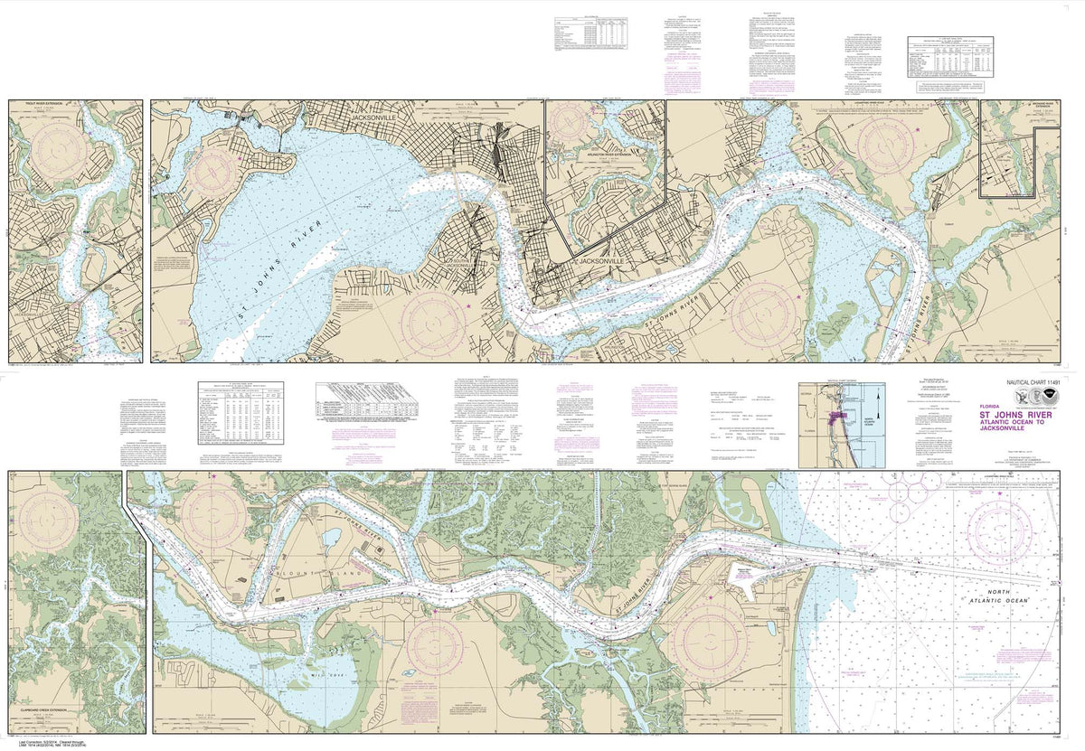

HISTORICAL NOAA Chart 11491: St. Johns River-Atlantic Ocean to Jacksonville
HISTORICAL NOAA Chart 11491: St. Johns River-Atlantic Ocean to Jacksonville
SKU: NO_11491$24.95 -


HISTORICAL NOAA Chart 11492: St. John's River Jacksonville to Racy Point
HISTORICAL NOAA Chart 11492: St. John's River Jacksonville to Racy Point
SKU: NO_11492$24.95 -


NOAA Chart 11495: St. Johns River Dunns Creek to Lake Dexter
NOAA Chart 11495: St. Johns River Dunns Creek to Lake Dexter
SKU: NO_11495$24.95 -


NOAA Chart 11498: St. Johns River Lake Dexter to Lake Harney
NOAA Chart 11498: St. Johns River Lake Dexter to Lake Harney
SKU: NO_11498$24.95 -


NOAA Chart 11502: Doboy Sound to Fernadina
NOAA Chart 11502: Doboy Sound to Fernadina
SKU: NO_11502$24.95 -


NOAA Chart 11503: St. Marys Entrance Cumberland Sound and Kings Bay
NOAA Chart 11503: St. Marys Entrance Cumberland Sound and Kings Bay
SKU: NO_11503$24.95 -


NOAA Chart 11504: St. Andrew Sound and Satilla River
NOAA Chart 11504: St. Andrew Sound and Satilla River
SKU: NO_11504$24.95 -


NOAA Chart 11505: Savannah River Approach
NOAA Chart 11505: Savannah River Approach
SKU: NO_11505$24.95 -


NOAA Chart 11506: St. Simons Sound: Brunswick Harbor and Turtle River
NOAA Chart 11506: St. Simons Sound: Brunswick Harbor and Turtle River
SKU: NO_11506$24.95 -


HISTORICAL NOAA Chart 11507: Intracoastal Waterway Beaufort River to St. Simons Sound
HISTORICAL NOAA Chart 11507: Intracoastal Waterway Beaufort River to St. Simons Sound
SKU: NO_11507$24.95 -
-


NOAA Chart 11509: Tybee Island to Doboy Sound
NOAA Chart 11509: Tybee Island to Doboy Sound
SKU: NO_11509$24.95 -


NOAA Chart 11510: Sapelo and Doboy Sounds
NOAA Chart 11510: Sapelo and Doboy Sounds
SKU: NO_11510$24.95 -


NOAA Chart 11511: Ossabaw and St. Catherines Sounds
NOAA Chart 11511: Ossabaw and St. Catherines Sounds
SKU: NO_11511$24.95 -


NOAA Chart 11512: Savannah River and Wassaw Sound
NOAA Chart 11512: Savannah River and Wassaw Sound
SKU: NO_11512$24.95 -


NOAA Chart 11513: St. Helena Sound to Savannah River
NOAA Chart 11513: St. Helena Sound to Savannah River
SKU: NO_11513$24.95 -


HISTORICAL NOAA Chart 11514: Savannah River Savannah to Brier Creek
HISTORICAL NOAA Chart 11514: Savannah River Savannah to Brier Creek
SKU: NO_11514$24.95 -


NOAA Chart 11515: Savannah River Brier Creek to Augusta
NOAA Chart 11515: Savannah River Brier Creek to Augusta
SKU: NO_11515$24.95 -


NOAA Chart 11516: Port Royal Sound and Inland Passages
NOAA Chart 11516: Port Royal Sound and Inland Passages
SKU: NO_11516$24.95 -
-
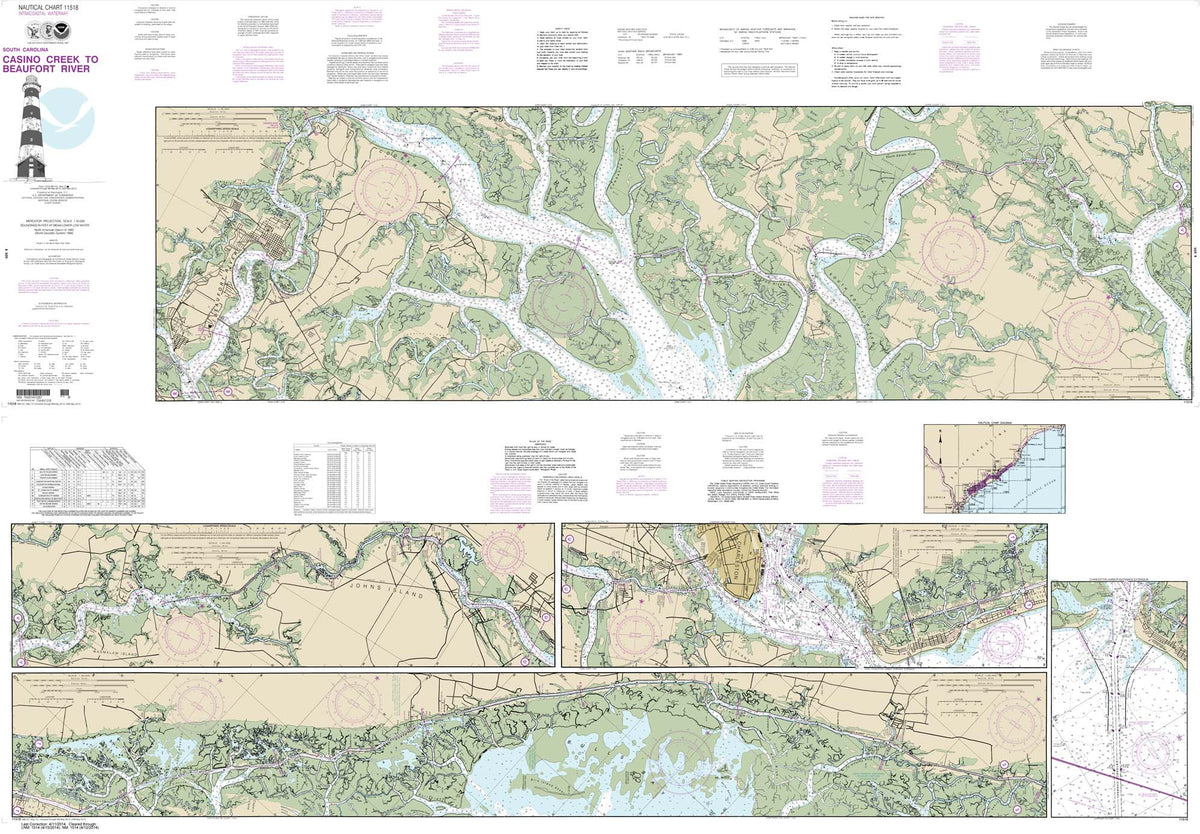

HISTORICAL NOAA Chart 11518: Intracoastal Waterway Casino Creek to Beaufort River
HISTORICAL NOAA Chart 11518: Intracoastal Waterway Casino Creek to Beaufort River
SKU: NO_11518$24.95 -


NOAA Chart 11519: Parts of Coosaw and Broad Rivers
NOAA Chart 11519: Parts of Coosaw and Broad Rivers
SKU: NO_11519$24.95 -


NOAA Chart 11520: Cape Hatteras to Charleston
NOAA Chart 11520: Cape Hatteras to Charleston
SKU: NO_11520$24.95 -


NOAA Chart 11521: Charleston Harbor and Approaches
NOAA Chart 11521: Charleston Harbor and Approaches
SKU: NO_11521$24.95 -


NOAA Chart 11522: Stono and North Edisto Rivers
NOAA Chart 11522: Stono and North Edisto Rivers
SKU: NO_11522$24.95 -
-


NOAA Chart 11526: Wando River Upper Part
NOAA Chart 11526: Wando River Upper Part
SKU: NO_11526$24.95 -


NOAA Chart 11527: Cooper River Above Goose Creek
NOAA Chart 11527: Cooper River Above Goose Creek
SKU: NO_11527$24.95 -


NOAA Chart 11528: Charleston Harbor Entrance and Approach
NOAA Chart 11528: Charleston Harbor Entrance and Approach
SKU: NO_11528$24.95 -


NOAA Chart 11531: Winyah Bay to Bulls Bay
NOAA Chart 11531: Winyah Bay to Bulls Bay
SKU: NO_11531$24.95 -
-


HISTORICAL NOAA Chart 11534: Intracoastal Waterway Myrtle Grove Sound and Cape Fear River to Casino Creek
HISTORICAL NOAA Chart 11534: Intracoastal Waterway Myrtle Grove Sound and Cape Fear River to Casino Creek
SKU: NO_11534$24.95 -


NOAA Chart 11535: Little River lnlet to Winyah Bay Entrance
NOAA Chart 11535: Little River lnlet to Winyah Bay Entrance
SKU: NO_11535$24.95 -


NOAA Chart 11536: Approaches to Cape Fear River
NOAA Chart 11536: Approaches to Cape Fear River
SKU: NO_11536$24.95 -


NOAA Chart 11537: Cape Fear River Cape Fear to Wilmington
NOAA Chart 11537: Cape Fear River Cape Fear to Wilmington
SKU: NO_11537$24.95 -


NOAA Chart 11539: New River Inlet to Cape Fear
NOAA Chart 11539: New River Inlet to Cape Fear
SKU: NO_11539$24.95 -


HISTORICAL NOAA Chart 11541: Intracoastal Waterway Neuse River to Myrtle Grove Sound
HISTORICAL NOAA Chart 11541: Intracoastal Waterway Neuse River to Myrtle Grove Sound
SKU: NO_11541$24.95 -


NOAA Chart 11542: New River;Jacksonville
NOAA Chart 11542: New River;Jacksonville
SKU: NO_11542$24.95 -


NOAA Chart 11543: Cape Lookout to New River
NOAA Chart 11543: Cape Lookout to New River
SKU: NO_11543$24.95 -


NOAA Chart 11544: Portsmouth Island to Beaufort: Including Cape Lookout Shoals
NOAA Chart 11544: Portsmouth Island to Beaufort: Including Cape Lookout Shoals
SKU: NO_11544$24.95 -


NOAA Chart 11545: Beaufort Inlet and Part of Core Sound;Lookout Bight
NOAA Chart 11545: Beaufort Inlet and Part of Core Sound;Lookout Bight
SKU: NO_11545$24.95 -
-


NOAA Chart 11548: Pamlico Sound Western Part
NOAA Chart 11548: Pamlico Sound Western Part
SKU: NO_11548$24.95 -


NOAA Chart 11550: Ocracoke lnlet and Part of Core Sound
NOAA Chart 11550: Ocracoke lnlet and Part of Core Sound
SKU: NO_11550$24.95 -


NOAA Chart 11552: Neuse River and Upper Part of Bay River
NOAA Chart 11552: Neuse River and Upper Part of Bay River
SKU: NO_11552$24.95 -


HISTORICAL NOAA Chart 11553: Intracoastal Waterway Albermarle Sound to Neuse River;Alligator River;Second Creek
HISTORICAL NOAA Chart 11553: Intracoastal Waterway Albermarle Sound to Neuse River;Alligator River;Second Creek
SKU: NO_11553$24.95 -
-


NOAA Chart 11555: Cape Hatteras-Wimble Shoals to Ocracoke Inlet
NOAA Chart 11555: Cape Hatteras-Wimble Shoals to Ocracoke Inlet
SKU: NO_11555$24.95 -


NOAA Chart 12200: Cape May to Cape Hatteras
NOAA Chart 12200: Cape May to Cape Hatteras
SKU: NO_12200$24.95 -


NOAA Chart 12204: Currituck Beach Light to Wimble Shoals
NOAA Chart 12204: Currituck Beach Light to Wimble Shoals
SKU: NO_12204$24.95 -


HISTORICAL NOAA Chart 12205: Cape Henry to Pamlico Sound, Including Albemarle Sd.; Rudee Heights (6 PAGE FOLIO)
HISTORICAL NOAA Chart 12205: Cape Henry to Pamlico Sound, Including Albemarle Sd.; Rudee Heights (6 PAGE FOLIO)
SKU: NO_12205$49.95 -


HISTORICAL NOAA Chart 12206: Intracoastal Waterway Norfolk to Albemarle Sound via North Landing River or Great Dismal Swamp Canal
HISTORICAL NOAA Chart 12206: Intracoastal Waterway Norfolk to Albemarle Sound via North Landing River or Great Dismal Swamp Canal
SKU: NO_12206$24.95 -


NOAA Chart 12207: Cape Henry to Currituck Beach Light
NOAA Chart 12207: Cape Henry to Currituck Beach Light
SKU: NO_12207$24.95 -


NOAA Chart 12208: Approaches to Chesapeake Bay
NOAA Chart 12208: Approaches to Chesapeake Bay
SKU: NO_12208$24.95 -


NOAA Chart 12210: Chincoteague Inlet to Great Machipongo Inlet;Chincoteague Inlet
NOAA Chart 12210: Chincoteague Inlet to Great Machipongo Inlet;Chincoteague Inlet
SKU: NO_12210$24.95 -


NOAA Chart 12211: Fenwick Island to Chincoteague Inlet;Ocean City Inlet
NOAA Chart 12211: Fenwick Island to Chincoteague Inlet;Ocean City Inlet
SKU: NO_12211$24.95 -


NOAA Chart 12214: Cape May to Fenwick Island
NOAA Chart 12214: Cape May to Fenwick Island
SKU: NO_12214$24.95 -


NOAA Chart 12216: Cape Henlopen to Indian River Inlet;Breakwater Harbor
NOAA Chart 12216: Cape Henlopen to Indian River Inlet;Breakwater Harbor
SKU: NO_12216$24.95 -


NOAA Chart 12221: Chesapeake Bay Entrance
NOAA Chart 12221: Chesapeake Bay Entrance
SKU: NO_12221$24.95 -


NOAA Chart 12222: Chesapeake Bay Cape Charles to Norfolk Harbor
NOAA Chart 12222: Chesapeake Bay Cape Charles to Norfolk Harbor
SKU: NO_12222$24.95 -


NOAA Chart 12224: Chesapeake Bay Cape Charles to Wolf Trap
NOAA Chart 12224: Chesapeake Bay Cape Charles to Wolf Trap
SKU: NO_12224$24.95 -


NOAA Chart 12225: Chesapeake Bay Wolf Trap to Smith Point
NOAA Chart 12225: Chesapeake Bay Wolf Trap to Smith Point
SKU: NO_12225$24.95 -


NOAA Chart 12226: Chesapeake Bay Wolf Trap to Pungoteague Creek
NOAA Chart 12226: Chesapeake Bay Wolf Trap to Pungoteague Creek
SKU: NO_12226$24.95 -


NOAA Chart 12228: Chesapeake Bay Pocomoke and Tangier Sounds
NOAA Chart 12228: Chesapeake Bay Pocomoke and Tangier Sounds
SKU: NO_12228$24.95 -


NOAA Chart 12230: Chesapeake Bay Smith Point to Cove Point
NOAA Chart 12230: Chesapeake Bay Smith Point to Cove Point
SKU: NO_12230$24.95 -


NOAA Chart 12231: Chesapeake Bay Tangier Sound Northern Part
NOAA Chart 12231: Chesapeake Bay Tangier Sound Northern Part
SKU: NO_12231$24.95 -


NOAA Chart 12233: Potomac River Chesapeake Bay to Piney Point
NOAA Chart 12233: Potomac River Chesapeake Bay to Piney Point
SKU: NO_12233$24.95 -


NOAA Chart 12235: Chesapeake Bay Rappahannock River Entrance: Piankatank and Great Wicomico Rivers
NOAA Chart 12235: Chesapeake Bay Rappahannock River Entrance: Piankatank and Great Wicomico Rivers
SKU: NO_12235$24.95 -


HISTORICAL NOAA Chart 12237: Rappahannock River Corrotoman River to Fredericksburg
HISTORICAL NOAA Chart 12237: Rappahannock River Corrotoman River to Fredericksburg
SKU: NO_12237$24.95 -


NOAA Chart 12238: Chesapeake Bay Mobjack Bay and York River Entrance
NOAA Chart 12238: Chesapeake Bay Mobjack Bay and York River Entrance
SKU: NO_12238$24.95 -


NOAA Chart 12241: York River Yorktown and Vicinity
NOAA Chart 12241: York River Yorktown and Vicinity
SKU: NO_12241$24.95 -


NOAA Chart 12243: York River Yorktown to West Point
NOAA Chart 12243: York River Yorktown to West Point
SKU: NO_12243$24.95 -


NOAA Chart 12244: Pamunkey And Mattaponi Rivers
NOAA Chart 12244: Pamunkey And Mattaponi Rivers
SKU: NO_12244$24.95 -
-


NOAA Chart 12248: James River Newport News to Jamestown Island; Back River and College Creek
NOAA Chart 12248: James River Newport News to Jamestown Island; Back River and College Creek
SKU: NO_12248$24.95 -


NOAA Chart 12251: James River Jamestown Island to Jordan Point
NOAA Chart 12251: James River Jamestown Island to Jordan Point
SKU: NO_12251$24.95 -


NOAA Chart 12252: James River Jordan Point to Richmond
NOAA Chart 12252: James River Jordan Point to Richmond
SKU: NO_12252$24.95 -


NOAA Chart 12253: Norfolk Harbor and Elizabeth River
NOAA Chart 12253: Norfolk Harbor and Elizabeth River
SKU: NO_12253$24.95 -


NOAA Chart 12254: Chesapeake Bay Cape Henry to Thimble Shoal Light
NOAA Chart 12254: Chesapeake Bay Cape Henry to Thimble Shoal Light
SKU: NO_12254$24.95 -


NOAA Chart 12255: Little Creek Naval Amphibious Base
NOAA Chart 12255: Little Creek Naval Amphibious Base
SKU: NO_12255$24.95 -


NOAA Chart 12256: Chesapeake Bay Thimble Shoal Channel
NOAA Chart 12256: Chesapeake Bay Thimble Shoal Channel
SKU: NO_12256$24.95 -


NOAA Chart 12261: Chesapeake Bay Honga: Nanticoke: Wicomico Rivers and Fishing Bay
NOAA Chart 12261: Chesapeake Bay Honga: Nanticoke: Wicomico Rivers and Fishing Bay
SKU: NO_12261$24.95 -


NOAA Chart 12263: Chesapeake Bay Cove Point to Sandy Point
NOAA Chart 12263: Chesapeake Bay Cove Point to Sandy Point
SKU: NO_12263$24.95 -


NOAA Chart 12264: Chesapeake Bay Patuxent River and Vicinity
NOAA Chart 12264: Chesapeake Bay Patuxent River and Vicinity
SKU: NO_12264$24.95 -


NOAA Chart 12266: Chesapeake Bay Choptank River and Herring Bay; Cambridge
NOAA Chart 12266: Chesapeake Bay Choptank River and Herring Bay; Cambridge
SKU: NO_12266$24.95 -


NOAA Chart 12268: Choptank River Cambridge to Greensboro
NOAA Chart 12268: Choptank River Cambridge to Greensboro
SKU: NO_12268$24.95 -


NOAA Chart 12270: Chesapeake Bay Eastern Bay and South River; Selby Bay
NOAA Chart 12270: Chesapeake Bay Eastern Bay and South River; Selby Bay
SKU: NO_12270$24.95 -


NOAA Chart 12272: Chester River; Kent Island Narrows: Rock Hall Harbor and Swan Creek
NOAA Chart 12272: Chester River; Kent Island Narrows: Rock Hall Harbor and Swan Creek
SKU: NO_12272$24.95 -


NOAA Chart 12273: Chesapeake Bay Sandy Point to Susquehanna River
NOAA Chart 12273: Chesapeake Bay Sandy Point to Susquehanna River
SKU: NO_12273$24.95 -


NOAA Chart 12274: Head of Chesapeake Bay
NOAA Chart 12274: Head of Chesapeake Bay
SKU: NO_12274$24.95 -


NOAA Chart 12277: Chesapeake and Delaware Canal
NOAA Chart 12277: Chesapeake and Delaware Canal
SKU: NO_12277$24.95 -


NOAA Chart 12278: Chesapeake Bay Approaches to Baltimore Harbor
NOAA Chart 12278: Chesapeake Bay Approaches to Baltimore Harbor
SKU: NO_12278$24.95 -
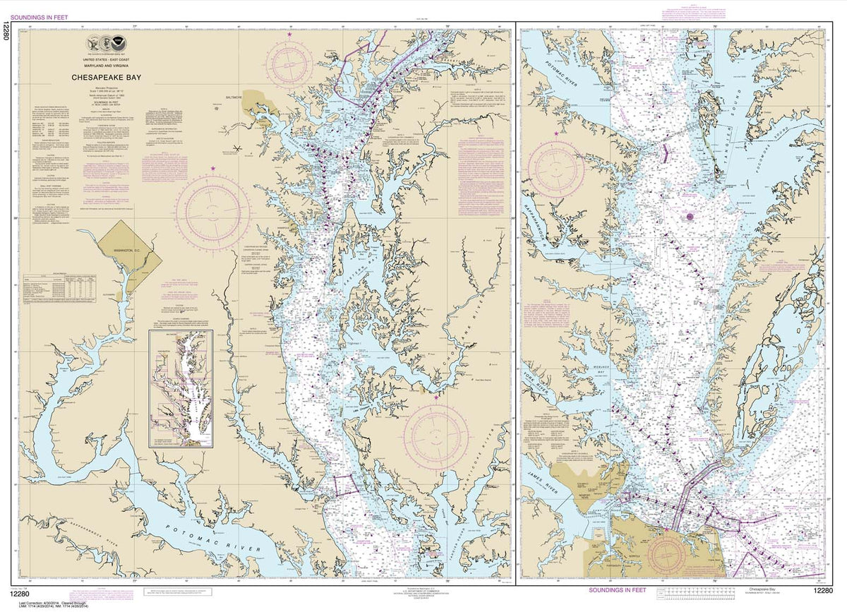


HISTORICAL NOAA Chart 12280: Chesapeake Bay
HISTORICAL NOAA Chart 12280: Chesapeake Bay
SKU: NO_12280$24.95 -
-


NOAA Chart 12282: Chesapeake Bay Severn and Magothy Rivers
NOAA Chart 12282: Chesapeake Bay Severn and Magothy Rivers
SKU: NO_12282$24.95 -
-


NOAA Chart 12284: Patuxent River Solomons lsland and Vicinity
NOAA Chart 12284: Patuxent River Solomons lsland and Vicinity
SKU: NO_12284$24.95 -


HISTORICAL NOAA Chart 12285: Potomac River; District of Columbia (6 PAGE FOLIO)
HISTORICAL NOAA Chart 12285: Potomac River; District of Columbia (6 PAGE FOLIO)
SKU: NO_12285$49.95 -


NOAA Chart 12286: Potomac River Piney Point to Lower Cedar Point
NOAA Chart 12286: Potomac River Piney Point to Lower Cedar Point
SKU: NO_12286$24.95 -


NOAA Chart 12287: Potomac River Dahlgren and Vicinity
NOAA Chart 12287: Potomac River Dahlgren and Vicinity
SKU: NO_12287$24.95 -


NOAA Chart 12288: Potomac River Lower Cedar Point to Mattawoman Creek
NOAA Chart 12288: Potomac River Lower Cedar Point to Mattawoman Creek
SKU: NO_12288$24.95 -


NOAA Chart 12289: Potomac River Mattawoman Creek to Georgetown;Washington Harbor
NOAA Chart 12289: Potomac River Mattawoman Creek to Georgetown;Washington Harbor
SKU: NO_12289$24.95 -


NOAA Chart 12300: Approaches to New York: Nantucket Shoals to Five Fathom Bank
NOAA Chart 12300: Approaches to New York: Nantucket Shoals to Five Fathom Bank
SKU: NO_12300$24.95 -
-


NOAA Chart 12311: Delaware River Smyrna River to Wilmington
NOAA Chart 12311: Delaware River Smyrna River to Wilmington
SKU: NO_12311$24.95 -


NOAA Chart 12312: Delaware River Wilmington to Philadelphia
NOAA Chart 12312: Delaware River Wilmington to Philadelphia
SKU: NO_12312$24.95 -


NOAA Chart 12313: Philadelphia and Camden Waterfronts
NOAA Chart 12313: Philadelphia and Camden Waterfronts
SKU: NO_12313$24.95 -


NOAA Chart 12314: Delaware River Philadelphia to Trenton
NOAA Chart 12314: Delaware River Philadelphia to Trenton
SKU: NO_12314$24.95 -
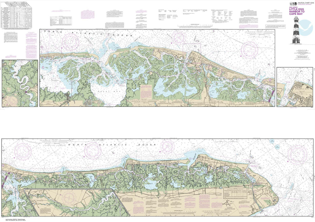

HISTORICAL NOAA Chart 12316: Intracoastal Waterway Little Egg Harbor to Cape May;Atlantic City
HISTORICAL NOAA Chart 12316: Intracoastal Waterway Little Egg Harbor to Cape May;Atlantic City
SKU: NO_12316$24.95 -
-


NOAA Chart 12318: Little Egg Inlet to Hereford Inlet;Absecon Inlet
NOAA Chart 12318: Little Egg Inlet to Hereford Inlet;Absecon Inlet
SKU: NO_12318$24.95 -


NOAA Chart 12323: Sea Girt to Little Egg Inlet
NOAA Chart 12323: Sea Girt to Little Egg Inlet
SKU: NO_12323$24.95 -


HISTORICAL NOAA Chart 12324: Intracoastal Waterway Sandy Hook to Little Egg Harbor
HISTORICAL NOAA Chart 12324: Intracoastal Waterway Sandy Hook to Little Egg Harbor
SKU: NO_12324$24.95 -


NOAA Chart 12325: Navesink And Shrewsbury Rivers
NOAA Chart 12325: Navesink And Shrewsbury Rivers
SKU: NO_12325$24.95 -


NOAA Chart 12326: Approaches to New York Fire lsland Light to Sea Girt
NOAA Chart 12326: Approaches to New York Fire lsland Light to Sea Girt
SKU: NO_12326$24.95 -
-


NOAA Chart 12331: Raritan Bay and Southern Part of Arthur Kill
NOAA Chart 12331: Raritan Bay and Southern Part of Arthur Kill
SKU: NO_12331$24.95 -


NOAA Chart 12332: Raritan River Raritan Bay to New Brunswick
NOAA Chart 12332: Raritan River Raritan Bay to New Brunswick
SKU: NO_12332$24.95 -


NOAA Chart 12333: Kill Van Kull and Northern Part of Arthur Kill
NOAA Chart 12333: Kill Van Kull and Northern Part of Arthur Kill
SKU: NO_12333$24.95 -


NOAA Chart 12334: New York Harbor Upper Bay and Narrows-Anchorage Chart
NOAA Chart 12334: New York Harbor Upper Bay and Narrows-Anchorage Chart
SKU: NO_12334$24.95 -


NOAA Chart 12335: Hudson and East Rivers Governors Island to 67th Street
NOAA Chart 12335: Hudson and East Rivers Governors Island to 67th Street
SKU: NO_12335$24.95 -


NOAA Chart 12337: Passaic and Hackensack Rivers
NOAA Chart 12337: Passaic and Hackensack Rivers
SKU: NO_12337$24.95 -


NOAA Chart 12338: East River Newtown Creek
NOAA Chart 12338: East River Newtown Creek
SKU: NO_12338$24.95 -


NOAA Chart 12339: East River Tallman Island to Queensboro Bridge
NOAA Chart 12339: East River Tallman Island to Queensboro Bridge
SKU: NO_12339$24.95 -


NOAA Chart 12341: Hudson River Days Point to George Washington Bridge
NOAA Chart 12341: Hudson River Days Point to George Washington Bridge
SKU: NO_12341$24.95


