



Best Sellers
Our best-selling charts, books and guides right now.
Our best-selling charts, books and guides right now.

The Small And Mighty Book Of Sharks: Pocket-Sized Books, Massive Facts! - Book

CHS Chart 4001: Gulf of Maine to Strait of Belle Isle /au Detroit de Belle Isle

What's Wrong with My Marijuana Plant?: A Cannabis Grower's Visual Guide to Easy Diagnosis and Organic Remedies - Book


Alaska Northern Lights Guide Laminated Card - Laminated Card

CHS Chart 8011: Grand Bank, Northern Portion/ Grand Banc, Partie Nord

Rhymes and Ditties for Adventurous Kiddies - Book

Short Nights of the Shadow Catcher: The Epic Life and Immortal Photographs of Edward Curtis - Book


NOAA Chart 12371: New Haven Harbor;New Haven Harbor (Inset)

Animal Tracks of the Northwest Playing Cards

Glow: The Wild Wonders Of Bioluminescence - Book


The World of Wild Cats - Folding Pocket Guide


Journey to the 63 U.S. National Parks - Book

CHS Chart 4000: Gulf of Maine to/à Baffin Bay / Baie de Baffin

CHS Chart 8010: Grand Bank/Grand Banc Southern Portion/Partie Sud

The Small And Mighty Book Of Myths And Legends: Pocket-Sized Books, Massive Facts! - Book


NOAA Chart 12370: North Shore of Long Island Sound Housatonic River and Milford Harbor


Sea Turtle Life Cycle Laminated Card - Laminated Card


NOAA Chart 18686: Pfeiffer Point to Cypress Point

GMDSS: A User's Handbook 6th edition - Book


A Rockhound’s Guide to Oregon & Washington - Book

Panama Pacific Reef Fish - Laminated Card

The Essential New York Times Cookbook: The Recipes of Record - Book


Trees of the West: An Artist's Guide - Book

Somewhere Beyond the Sea Visual Notebook - Book


Salmon, Cedar, Rock & Rain: Washington's Olympic Peninsula - Book

Training for the New Alpinism: A Manual for the Climber as Athlete - Book

Find 'Em, Chase 'Em, Sink 'Em: The Mysterious Loss of the WWII Submarine USS Gudgeon - Book

CHS Chart 3994: Portland Inlet, Khutzeymateen Inlet and Pearse Canal

The Amazing World of Dinosaurs PLAYING CARDS


FAA Chart: Enroute Low Altitude L 17/18


Prince William Sound BookletChart (West)


NOAA Chart 12252: James River Jordan Point to Richmond

CHS Chart 8007: Halifax to/à Sable Island/Île de Sable, Including/y compris Emerald Bank/Banc d'Émeraude and/et ...

Mermaid Tales #12: Wish upon a Starfish - Book


NOAA Chart 18458: Hood Canal-South Point to Quatsap Point including Dabob Bay

Founding Gardeners: The Revolutionary Generation, Nature, and the Shaping of the American Nation - Book

CHS Chart 7552: Bellot Strait and Approaches/et Les Approches

What Humming-Fish Wish: How YOU Can Help Protect Sea Creatures - Book

The Shark Book (See-Through Science) - Book

A Child's Introduction to the Night Sky (Revised and Updated): The Story of the Stars, Planets, and Constellations--and How You Can Find Them in the Sk - Book

NGA Chart 28052: Canal de Bocas del toro - Panama

Escape from the Deep: A True Story of Courage and Survival During World War II - Book

Sharks: Get Up Close To Nature'sFiercest Predators - Book


HISTORICAL NOAA Chart 18533: Columbia River Lake Celilo


NOAA Chart 18685: Monterey Bay;Monterey Harbor;Moss Landing Harbor;Santa Cruz Small Craft Harbor

CHS Chart 7194: Cape Hooper To Arguyartu Point Including Ekalugad Fiord

Guardians of the Planet: How to be an Eco-Hero - Book

Fish-n-Map: Trinity Lake / Whiskeytown Lake


NOAA Chart 12369: North Shore of Long Island Sound Stratford to Sherwood Point

The Grand Canyon (Natural Wonders of the World) - Book


NOAA Chart 11552: Neuse River and Upper Part of Bay River


Cute Animals That Could Kill You Dead - Book

The Sasquatch and the Lumberjack: Family - Book


NOAA Chart 12251: James River Jamestown Island to Jordan Point

The Alaska Wild Berry Cookbook: Homestyle Recipes from the Far North, Revised Edition - Book


FAA Chart: Enroute Low/High Pacific Hawaii

CHS Chart 3987: Kitkatla Channel and/et Porcher Inlet


FAA Chart: Enroute Low Altitude L 15/16

The Spirit of Springer: The Real-Life Rescue of an Orphaned Orca - Book

CHS Chart 8006: Scotian Shelf/Plate-Forme Néo-Écossaise, Browns Bank to Emerald Bank/Banc de Brown au Banc D'Éme...


Prince William Sound BookletChart (East)

Panama: Western Panama Birds - Folding Pocket Guide

But First, We Nap: A Little Book About Nap Time - Book


NOAA Chart 18457: Puget Sound-Hammersley Inlet to Shelton

CHS Chart 3854: Tasu Sound to/à Port Louis

NGA Chart 28051: Costa Rica - Caribbean Sea

SEATTLE-VANCOUVER from Space ROLLED POSTER

CHS Chart 7661: Demarcation Bay to/à Philips Bay

52 Weekends in the Pacific Northwest - Book

CHS Chart 7540: Bridport Inlet and Approaches/et Les Approches

Mycelial Mayhem: Growing Mushrooms for Fun, Profit and Companion Planting - Book


Alberta Trees & Wildflowers - Folding Pocket Guide

Knight's Modern Seamanship, 18th edition - Book

CHS Chart 7193: Cape Hooper and Approaches

NGA Chart 29106: Plans On the Ant. Penn. and Adj. Islands - Melchoir Islands

Healthyish: A Cookbook with Seriously Satisfying, Truly Simple, Good-For-You (but not too Good-For-You) Recipes for Real Life - Book

Distant Shores, Season Five: The Med to Caribbean & Bahamas (3-DVD set)

CHS Chart 3894: Selwyn Inlet to/à Lawn Point


NOAA Chart 18502: Grays Harbor;Westhaven Cove

NGA Chart 27183: Approaches to the Port of Casilda


NOAA Chart 12368: North Shore of Long Island Sound Sherwood Point to Stamford Harbor

CHS Chart 3559: Malaspina Inlet, Okeover Inlet and/et Lancelot Inlet


HISTORICAL NOAA Chart 18532: Columbia River Bonneville To The Dalles; The Dalles; Hood River


NOAA Chart 11550: Ocracoke lnlet and Part of Core Sound
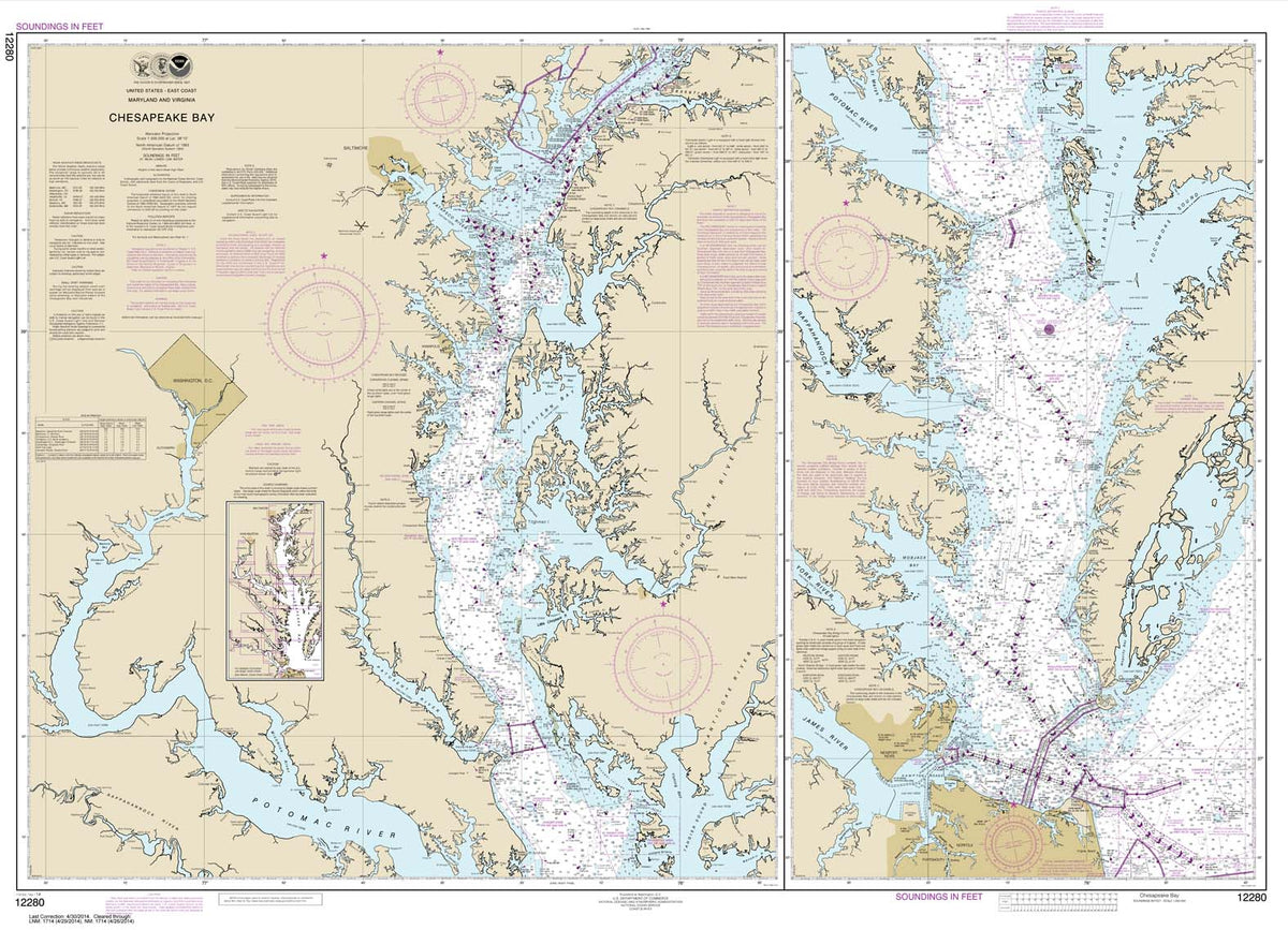


HISTORICAL NOAA Chart 12280: Chesapeake Bay


NOAA Chart 11528: Charleston Harbor Entrance and Approach

Day Hikes in the Pacific Northwest: 90 Favorite Trails, Loops, and Summit Scrambles within a Few Hours of Portland and Seattle - Book

CHS Chart 7482: Winter Island to/à Cape Jermain

FAA Chart: Enroute Low Altitude WEST SET (11 CHARTS)

Camp Out!: The Ultimate Kids' Guide - Book

CHS Chart 3656: Useless Inlet and Fatty Basin

Mexico Field Guide: Baja, Sea of Cortez Reef Fish - Laminated Card


FAA Chart: Enroute Low Altitude L 13/14

Panama: Central Panama Birds - Folding Pocket Guide

Evolution, Creationism and Other Modern Myths - Book

A Guide to Canning, Freezing, Curing & Smoking Meat, Fish & Game - Book


NOAA Chart 12248: James River Newport News to Jamestown Island; Back River and College Creek

The Bigfoot Book: The Encyclopedia of Sasquatch, Yeti and Cryptid Primates - Book

The Queen's Pirate: Sir Francis Drake and the Golden Hind - Book

Fish-N-Map: Lake McClure, Eagle Lake, Lake Almanor


What's Up, Fire Truck? (A Pop Magic Book) - Book


NOAA Chart 12224: Chesapeake Bay Cape Charles to Wolf Trap

NGA Chart 28050: Nicaraguan Rise - Western Part

CHS Chart 7122: Culbertson Island to/à Koojesse Inlet

CHS Chart 3726: Laredo Sound and Approaches

How to Shit in the Woods, 4th edition - Book

CHS Chart 7646: McClintock Bay and/et Wilkins Point

The Chinese Sailing Rig, 3rd Edition - Design and Build Your Own Junk Rig - Book


Roadside Wildflowers - Folding Pocket Guide


NOAA Chart 18456: Olympia Harbor and Budd Inlet

NGA Chart 29105: King George Island to Corry Island


National Geographic Kids 5-Minute Shark Stories - Book

The Curve of Time 50th Anniversary Edition - Book

Volcanoes and Earthquakes. The Earth in Motion - Book

CHS Chart 3853: Cape St. James to/à Cumshewa Inlet and/et Tasu Sound

CHS Chart 7185: Kangeeak Point and Approaches

National Geographic Readers: Glowing Animals - Book


NOAA Chart 12323: Sea Girt to Little Egg Inlet

CHS Chart 7527: Erebus Bay and/et Radstock Bay


NOAA Chart 18500: Columbia River to Destruction Island


Oregon Trees & Wildflowers - Folding Pocket Guide


NOAA Chart 11548: Pamlico Sound Western Part

NGA Chart 28161: Puerto de Tela and Approaches


NOAA Chart 18623: Cape Mendocino and vicinity

Muddy Boots: Outdoor Activities for Children - Book


NOAA Chart 12367: North Shore of Long Island Sound Greenwich Point to New Rochelle

Healing Mushrooms: A Practical and Culinary Guide to Using Mushrooms for Whole Body Health - Book

NGA Chart 27180: Cayo Breton to Cabo Cruz Including Jamai


NOAA Chart 12347: Hudson River Wappinger Creek to Hudson

Kachemak Bay to Prince William Sound Chart Atlas (12x18 Spiral-bound)


NOAA Chart 12278: Chesapeake Bay Approaches to Baltimore Harbor

Panama Field Guide, Caribbean Reef Fish - Laminated Card

Compact Chart Book for Washington Waters - Book

Mushrooms of the Rocky Mountain Region - Book

FAA Chart: North Pacific Route Chart Southwest FLAT

The Hidden Lives of Owls: The Science and Spirit of Nature's Most Elusive Birds - Book

Distant Shores: Cruising the Middle East (DVD)


NOAA Chart 18531: Columbia River Vancouver to Bonneville; Bonneville Dam

Prehistoric: Dinosaurs, Megalodons, and Other Fascinating Creatures of the Deep Past - Book

CHS Chart 3938: Queens Sound to/à Seaforth Channel

Inky the Octopus: Bound for Glory - Book


NOAA Chart 11527: Cooper River Above Goose Creek


Indestructibles: Happy and You Know It! - Book

CHS Chart 3985: Principe Channel Central Portion/Partie Centrale and/et Petrel Channel

12" Chrome Bell w/ Navy Monkey's Fist Lanyard #12000C


NOAA Chart 12222: Chesapeake Bay Cape Charles to Norfolk Harbor


NOAA Chart 18658: SUISUN BAY-Roe Island and vicinity

Panama: Amphibians - Folding Pocket Guide


Camping & Backpacking Knot Practice Kit - Book

A Is for Acorn: A California Indian ABC - Book


